
Stampa:Nicolaes Visscher Indiae Orientalis.jpg
Daqs tad-dehra proviżorja: 720 × 600 pixels. Riżoluzzjonijiet oħra: 288 × 240 pixels | 576 × 480 pixels | 922 × 768 pixels | 1,229 × 1,024 pixels | 2,493 × 2,077 pixels
Fajl oriġinali (2,493 × 2,077 pixel, dimensjoni: 1.89 MB, tip ta' MIME: image/jpeg)
| Dan huwa fajl mill-Wikimedia Commons. Il-deskrizzjoni fuq il-paġna ta' diskussjoni oriġinali tidher hawn taħt.
|
Taqsira
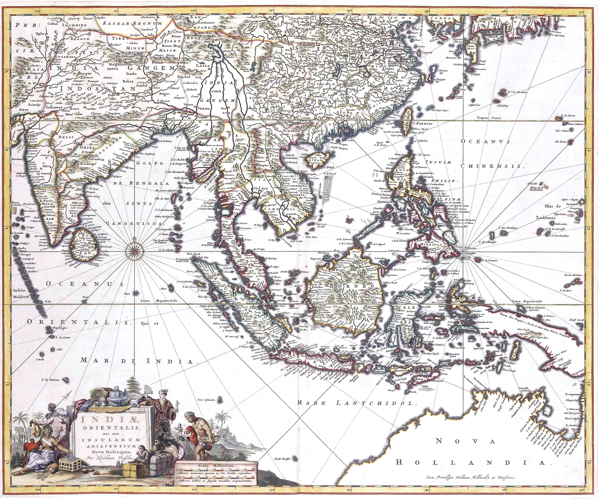
| Nicolaes Visscher II: New description of East India, and also the Adjacent Islands
( |
||||||||||||||||||||||||||
|---|---|---|---|---|---|---|---|---|---|---|---|---|---|---|---|---|---|---|---|---|---|---|---|---|---|---|
| Artist |
|
|||||||||||||||||||||||||
| Titlu |
Latin: Indiae orientalis, nec non insularum adiacentium nova descriptio New description of East India, and also the Adjacent Islands |
|||||||||||||||||||||||||
| Deskrizzjoni |
Indiae Orientalis, 17th century map by by Nicolaes Visscher II |
|||||||||||||||||||||||||
| Data | 17 century | |||||||||||||||||||||||||
| Sors/Fotografu | Het Geheugen van Nederland | |||||||||||||||||||||||||
Liċenzja
|
This work is in the public domain in its country of origin and other countries and areas where the copyright term is the author's life plus 100 years or fewer. | |
| This file has been identified as being free of known restrictions under copyright law, including all related and neighboring rights. | |
Kronoloġija tal-fajl
Agħfas fuq il-grupp data/ħin biex tara l-fajl biex tara kif jidher dak il-ħin.
| Data/Ħin | Minjatura | Qisien | Utent | Kumment | |
|---|---|---|---|---|---|
| kurrenti | 17:31, 11 April 2021 | | 2,493 × 2,077 (1.89 MB) | Gryffindor | {{Information |Description= |Source={{own}} |Date= |Author= Gryffindor |Permission= |other_versions= }} |
| 15:03, 8 Settembru 2007 |  | 2,493 × 2,077 (1.93 MB) | Jan Arkesteijn | {{Information |Description=Indiae Orientalis, 17th century map by Nicolaes Visscher |Source= Nicolaes Visscher |Date=17th century |Author= Nicolaes Visscher |Permission=PD because of age |other_versions= }} Category:Nicolaes Visscher |
Użu tal-fajl
Il-Paġna segwenti twassal għal din l-istampa:
L-użu globali tal-fajl
Il-wikis segwenti jużaw dan il-fajl:
- Użu fuq ban.wikipedia.org
- Użu fuq en.wikipedia.org
- History of Indonesia
- Majapahit
- Indonesia–Malaysia confrontation
- Srivijaya
- Amboyna massacre
- Singhasari
- List of governors of the Dutch East Indies
- Sultanate of Serdang
- Aceh War
- Mataram Sultanate
- Bone State
- Effect of the 2004 Indian Ocean earthquake on Indonesia
- Javanese historical texts
- Permesta
- Shailendra dynasty
- Johor Sultanate
- Proclamation of Indonesian Independence
- Kediri Kingdom
- Samudera Pasai Sultanate
- Politionele acties
- Linggadjati Agreement
- Mataram Kingdom
- Lanfang Republic
- Renville Agreement
- New Order (Indonesia)
- Template:History of Indonesia
- 30 September Movement
- Darul Islam (Indonesia)
- Cultivation System
- Pagaruyung Kingdom
- Revolutionary Government of the Republic of Indonesia
- Kingdom of Pajang
- Peureulak Sultanate
- Guided Democracy in Indonesia
- Dutch Ethical Policy
- Asahan Sultanate
- Investigating Committee for Preparatory Work for Independence
- Sanjaya dynasty
- Gilchrist Document
- Supersemar
- Janggala
- Melayu Kingdom
- Roem–Van Roijen Agreement
- Wikipedia:WikiProject Indonesia/Templates
- Operation Kraai
- Banten Sultanate
- Emergency Government of the Republic of Indonesia
Ara l-użu globali ta' dan il-fajl.