
Stampa:Mexico map, MX-DFE.svg

Size of this PNG preview of this SVG file: 448 × 599 pixels. Riżoluzzjonijiet oħra: 179 × 240 pixels | 359 × 480 pixels | 574 × 768 pixels | 765 × 1,024 pixels | 1,531 × 2,048 pixels | 536 × 717 pixels
Fajl oriġinali (Fajl fil-format SVG, dimensjoni nominali 536 × 717 pixel, dimensjoni tal-fajl: 20 KB)
| Dan huwa fajl mill-Wikimedia Commons. Il-deskrizzjoni fuq il-paġna ta' diskussjoni oriġinali tidher hawn taħt.
|
Taqsira
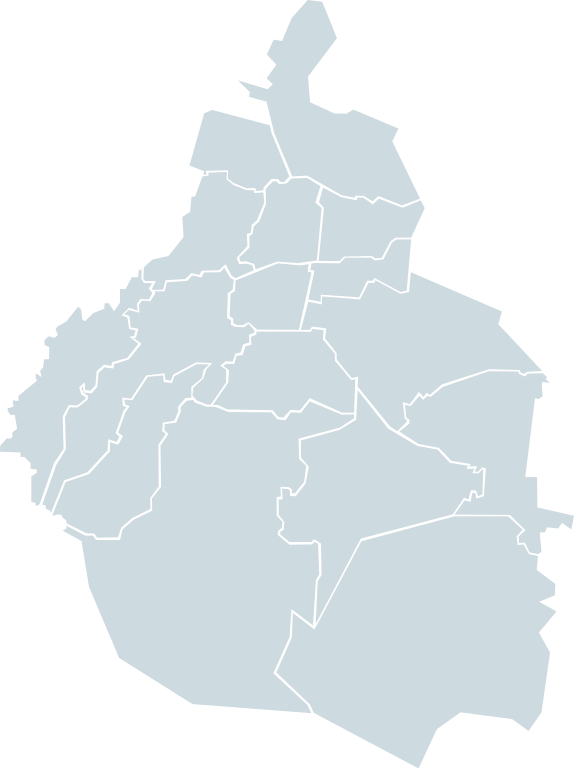
| Deskrizzjoni | Map of the Mexican Federal District in lightblue |
| Data | |
| Sors | Own work based on: Mexico map, MX-DFE.svg by El bart089 |
| Awtur | EOZyo |
| SVG genesis |
Liċenzja
| I, the copyright holder of this work, release this work into the public domain. This applies worldwide. In some countries this may not be legally possible; if so: I grant anyone the right to use this work for any purpose, without any conditions, unless such conditions are required by law. |
Kronoloġija tal-fajl
Agħfas fuq il-grupp data/ħin biex tara l-fajl biex tara kif jidher dak il-ħin.
| Data/Ħin | Minjatura | Qisien | Utent | Kumment | |
|---|---|---|---|---|---|
| kurrenti | 18:49, 20 Novembru 2007 | | 536 × 717 (20 KB) | El bart089 | {{Information |Description=Map of the Mexican Federal District in lightblue |Source=self-made |Date=November 20, 2007 |Author= El bart089 |Permission= |other_versions= }} |
Użu tal-fajl
L-ebda paġna fuq il-Wikipedija Maltija torbot lejn dan il-fajl.
L-użu globali tal-fajl
Il-wikis segwenti jużaw dan il-fajl:
- Użu fuq en.wikipedia.org