
Stampa:Hungary location map.svg

Size of this PNG preview of this SVG file: 800 × 493 pixels. Riżoluzzjonijiet oħra: 320 × 197 pixels | 640 × 395 pixels | 1,024 × 631 pixels | 1,280 × 789 pixels | 2,560 × 1,578 pixels | 1,210 × 746 pixels
Fajl oriġinali (Fajl fil-format SVG, dimensjoni nominali 1,210 × 746 pixel, dimensjoni tal-fajl: 246 KB)
| Dan huwa fajl mill-Wikimedia Commons. Il-deskrizzjoni fuq il-paġna ta' diskussjoni oriġinali tidher hawn taħt.
|
Taqsira
| Deskrizzjoni |
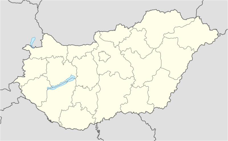
Deutsch: Positionskarte von Ungarn
Quadratische Plattkarte, N-S-Streckung 140 %. Geographische Begrenzung der Karte:
English: Location map of Hungary
Equirectangular projection, N/S stretching 140 %. Geographic limits of the map:
|
| Data | |
| Sors | own work, using United States National Imagery and Mapping Agency data |
| Awtur | NordNordWest (diskussjoni · kontributi) |
| Verżjonijiet oħra | Derivative works of this file: Hungary location map-2.jpg |

|
This map has been made or improved in the German Kartenwerkstatt (Map Lab). You can propose maps to improve as well.
|
Liċenzja
Jiena, id-detentur tal-copyright ta' dan ix-xogħol, niddikjara li se nippubblikah taħt il-liċenzji segwenti:

|
Huwa permess li tikkopja, tiddistribwixxi u/jew timmodifika dan id-dokument abbażi tat-termini tal-Liċenzja ta' Dokumentazzjoni Ħielsa tal-GNU, Verżjoni 1.2 jew kwalunkwe verżjoni oħra pubblikata mill-Free Software Foundation; mingħajr ebda sezzjoni non-modifikabbli, mingħajr test tal-faċċata u mingħajr test tal-qoxra. Kopja tal-liċenzja hi inkluża fis-sezzjoni intitolata Test tal-Liċenzja ta' Dokumentazzjoni Ħielsa tal-GNU". |
Dan il-fajl huwa liċenzjat taħt it-termini tal-liċenzja Creative Commons Attribuzzjoni-Aqsam bl-istess mod 3.0 Unported
- Inti ħieles:
- li taqsam – li tikkopja, tiddistribwixxi u tittrażmetti din l-opra
- li timmodifika – li tadatta l-biċċa xogħol
- Taħt il-kundizzjonijiet segwenti:
- attribuzzjoni – Għandek tattribwixxi x-xogħol bil-mod speċifikat mill-awtur jew minn min ta l-l-iċenzja (imma mhux b'xi mod li jissuġġerixxi ji jappoġjaw lilek jew l-użu tax-xogħol).
- Ixxerja bl-istess mod – Jekk tbiddel, tittrasforma jew tibni fuq dan il-materjal, inti għandek bżonn taqsam il-kontribuzzjonijiet tiegħek taħt l-istess liċenzja jew waħda li taqbel ma' dik oriġinali.
Tista' tagħżel il-liċenzja li tippreferi.
Kronoloġija tal-fajl
Agħfas fuq il-grupp data/ħin biex tara l-fajl biex tara kif jidher dak il-ħin.
| Data/Ħin | Minjatura | Qisien | Utent | Kumment | |
|---|---|---|---|---|---|
| kurrenti | 13:27, 15 Novembru 2008 | | 1,210 × 746 (246 KB) | NordNordWest | corrected |
| 17:30, 5 Settembru 2008 |  | 1,210 × 746 (243 KB) | NordNordWest | frontiers corrected, size correction, file size smaller | |
| 09:53, 5 Lulju 2008 |  | 605 × 373 (309 KB) | NordNordWest | {{Information |Description= {{de|Positionskarte von Ungarn}} Quadratische Plattkarte, N-S-Streckung 140 %. Geographische Begrenzung der Karte: * N: 48.8° N * S: 45.5° N * W: 15.7° O * O: 23.2° O {{en|Location map of [[:en:Hungary|Hungar |
Użu tal-fajl
L-użu globali tal-fajl
Il-wikis segwenti jużaw dan il-fajl:
- Użu fuq af.wikipedia.org
- Użu fuq als.wikipedia.org
- Użu fuq am.wikipedia.org
- Użu fuq an.wikipedia.org
- Budapest
- Ecser
- Esztergom
- Buda (Hongría)
- Pest
- Óbuda
- Zichyújfalu
- Basilica de Sant Istevan de Budapest
- Ilesia de Matías de Budapest
- Bastión d'os Pescataires
- Banyos Széchenyi
- Banyos Gellért
- Gran Sinoga de Budapest
- Castiello de Buda
- Puent d'as Cadenas
- Puent Margit
- Parlamento d'Hongría
- Mercau Central de Budapest
- Opera Nacional d'Hongría
- Plantilla:Mapa de localización Hongría
- Sopron
- Győr
- Pécs
- Debrecen
- Szeged
- Miskolc
- Nyíregyháza
- Użu fuq ar.wikipedia.org
- Użu fuq ast.wikipedia.org
Ara l-użu globali ta' dan il-fajl.