
Stampa:Census Bureau map of Morristown, New Jersey.png
Mhux disponibli verżjonijiet b'risoluzzjoni akbar.
Census_Bureau_map_of_Morristown,_New_Jersey.png (575 × 425 pixel, dimensjoni: 72 KB, tip ta' MIME: image/png)
| Dan huwa fajl mill-Wikimedia Commons. Il-deskrizzjoni fuq il-paġna ta' diskussjoni oriġinali tidher hawn taħt.
|
Taqsira
| Deskrizzjoni |
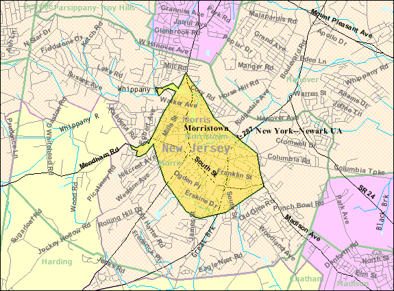
English: Census Bureau map of Morristown |
| Sors | United States Census Bureau |
| Awtur | United States Census Bureau |
Liċenzja
This image or file is a work of a United States Census Bureau employee, taken or made as part of that person's official duties. As a work of the U.S. federal government, the image is in the public domain.
|
 |
Original upload log
Transferred from en.wikipedia to Commons by Quadell using CommonsHelper.
The original description page was here. All following user names refer to en.wikipedia.
- 2008-06-01 22:28 Alansohn 575×425× (73257 bytes) {{Information |Description=Census Bureau map of [[Morristown, New Jersey]] |Source=[[United States Census Bureau]] |Date= |Author=[[United States Census Bureau]] |Permission= |other_versions= }}
Original upload log
| Data/Ħin | Qisien | Utent | Kumment |
|---|---|---|---|
| 11 Lulju 2013, 18:27:15 | 575 × 425 (73257 bytes) | File Upload Bot (Magnus Manske) (diskussjoni · kontributi) | Transfered from en.wikipedia by [[User:Quadell]] using CommonsHelper |
Kronoloġija tal-fajl
Agħfas fuq il-grupp data/ħin biex tara l-fajl biex tara kif jidher dak il-ħin.
| Data/Ħin | Minjatura | Qisien | Utent | Kumment | |
|---|---|---|---|---|---|
| kurrenti | 14:56, 20 Novembru 2014 | | 575 × 425 (72 KB) | GifTagger | Bot: Converting file to superior PNG file. (Source: Census_Bureau_map_of_Morristown,_New_Jersey.gif). This GIF was problematic due to non-greyscale color table. |
Użu tal-fajl
Il-Paġna segwenti twassal għal din l-istampa:
L-użu globali tal-fajl
Il-wikis segwenti jużaw dan il-fajl:
- Użu fuq azb.wikipedia.org
- Użu fuq en.wikipedia.org
- Użu fuq fa.wikipedia.org
- Użu fuq ja.wikipedia.org
- Użu fuq sh.wikipedia.org
- Użu fuq simple.wikipedia.org
- Użu fuq zh.wikipedia.org