
Stampa:Syria districts.png

Daqs tad-dehra proviżorja: 800 × 564 pixels. Riżoluzzjonijiet oħra: 320 × 226 pixels | 640 × 451 pixels | 1,024 × 722 pixels | 1,228 × 866 pixels
Fajl oriġinali (1,228 × 866 pixel, dimensjoni: 25 KB, tip ta' MIME: image/png)
| Dan huwa fajl mill-Wikimedia Commons. Il-deskrizzjoni fuq il-paġna ta' diskussjoni oriġinali tidher hawn taħt.
|
Taqsira
| Deskrizzjoni |
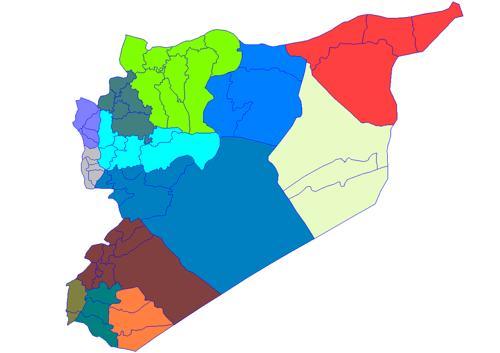
English: Historic map of the districts of Syria. It does not show districts that have been created since 2007, eg, Atarib, Dayr Hafir and Qudsaya. |
||
| Data | |||
| Sors | Created by Rarelibra 15:51, 8 May 2007 (UTC) for public domain use, using MapInfo Professional v8.5 and various mapping resources. | ||
| Awtur | Rarelibra | ||
| Permess (Użu mill-ġdid tal-fajl) |
|
Kronoloġija tal-fajl
Agħfas fuq il-grupp data/ħin biex tara l-fajl biex tara kif jidher dak il-ħin.
| Data/Ħin | Minjatura | Qisien | Utent | Kumment | |
|---|---|---|---|---|---|
| kurrenti | 19:28, 8 Mejju 2007 | | 1,228 × 866 (25 KB) | Anas Salloum | modified with permission of original author |
| 15:51, 8 Mejju 2007 |  | 1,281 × 878 (21 KB) | Rarelibra | Map of the districts of Syria. Created by ~~~~ for public domain use, using MapInfo Professional v8.5 and various mapping resources. |
Użu tal-fajl
Il-Paġna segwenti twassal għal din l-istampa:
L-użu globali tal-fajl
Il-wikis segwenti jużaw dan il-fajl:
- Użu fuq ar.wikipedia.org
- Użu fuq azb.wikipedia.org
- Użu fuq az.wikipedia.org
- Użu fuq bn.wikipedia.org
- Użu fuq ckb.wikipedia.org
- ویکیپرۆژە:کۆمەڵە وتارەکان/شارەکانی سووریا/ڕەگ
- حەلەب
- لازقیە
- حەما
- دێرەزوور
- ڕەققە
- ئیدلیب
- ئەلباب
- دوما
- جەرمانا
- سەلەمیە
- دەرعا
- حەجەر ئەسوەد
- مەعەڕەت نوعمان
- تەرتووس
- دارەیا
- ئەلتەورە
- جەبلە
- سووەیدا
- نەوا، سووریا
- ئەلتەل
- ئەلڕەستەن
- ئەریحا
- ئەلنەبک
- مەیادین
- یەبرود
- قوسەیر
- حەرەستا
- جسر شوغور
- بانیاس
- جەیرود
- قەریەتەین
- مەعڕەت مسرین
- مەسیاف
Ara l-użu globali ta' dan il-fajl.