
Stampa:Papua New Guinea LLGs 2012.png

Daqs tad-dehra proviżorja: 800 × 531 pixels. Riżoluzzjonijiet oħra: 320 × 212 pixels | 640 × 425 pixels | 1,024 × 679 pixels | 1,278 × 848 pixels
Fajl oriġinali (1,278 × 848 pixel, dimensjoni: 28 KB, tip ta' MIME: image/png)
| Dan huwa fajl mill-Wikimedia Commons. Il-deskrizzjoni fuq il-paġna ta' diskussjoni oriġinali tidher hawn taħt.
|
Taqsira
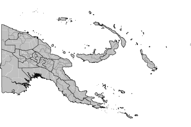
| Deskrizzjoni | Map of the Local Level Governments (LLGs) of Papua New Guinea, updated to show outlines of Hela and Jiwaka provinces. |
| Data | |
| Sors | Derived from File:Papua New Guinea LLGs.png |
| Awtur | Keith Edkins |
Liċenzja
| I, the copyright holder of this work, release this work into the public domain. This applies worldwide. In some countries this may not be legally possible; if so: I grant anyone the right to use this work for any purpose, without any conditions, unless such conditions are required by law. |
Kronoloġija tal-fajl
Agħfas fuq il-grupp data/ħin biex tara l-fajl biex tara kif jidher dak il-ħin.
| Data/Ħin | Minjatura | Qisien | Utent | Kumment | |
|---|---|---|---|---|---|
| kurrenti | 17:08, 26 Mejju 2023 | | 1,278 × 848 (28 KB) | Auguel | Cropped < 1 % horizontally, < 1 % vertically using CropTool with lossless mode. |
| 17:56, 28 Mejju 2012 |  | 1,281 × 851 (37 KB) | Keith Edkins | Revised to show Anglimp in Jiwaka | |
| 11:14, 28 Mejju 2012 |  | 1,281 × 851 (37 KB) | Keith Edkins | {{Information |Description=Map of the Local Level Governments (LLGs) of Papua New Guinea, updated to show outlines of Helga and Jiwaka provinces. |Source=Derived from File:Papua New Guinea LLGs.png |Date=2012-05-28 |Author=[[User:Keith Edkins|Kei... |
Użu tal-fajl
Il-Paġna segwenti twassal għal din l-istampa:
L-użu globali tal-fajl
Il-wikis segwenti jużaw dan il-fajl:
- Użu fuq en.wikipedia.org
- Użu fuq es.wikipedia.org
- Użu fuq zh.wikipedia.org