
Stampa:Locatie Middellandse Zee.PNG
Daqs tad-dehra proviżorja: 800 × 489 pixels. Riżoluzzjonijiet oħra: 320 × 195 pixels | 640 × 391 pixels | 902 × 551 pixels
Fajl oriġinali (902 × 551 pixel, dimensjoni: 33 KB, tip ta' MIME: image/png)
| Dan huwa fajl mill-Wikimedia Commons. Il-deskrizzjoni fuq il-paġna ta' diskussjoni oriġinali tidher hawn taħt.
|
| Deskrizzjoni |
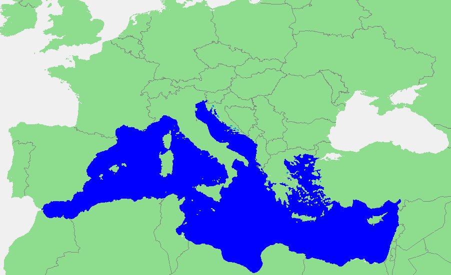
Nederlands: Locatie Middellandse Zee
中文:地中海地图 |
||||
| Sors | own work based on PD map | ||||
| Awtur | edited by M.Minderhoud | ||||
| Permess (Użu mill-ġdid tal-fajl) |
|
Kronoloġija tal-fajl
Agħfas fuq il-grupp data/ħin biex tara l-fajl biex tara kif jidher dak il-ħin.
| Data/Ħin | Minjatura | Qisien | Utent | Kumment | |
|---|---|---|---|---|---|
| kurrenti | 18:21, 12 Settembru 2006 | | 902 × 551 (33 KB) | Michiel1972 | {{Information |Description=In dutch: {{subst:PAGENAME}} |Source= own work based on PD map |Date= |Author= edited by M.Minderhoud |Permission= {{PD-Demis}} |other_versions= }} category:Locator maps of seas |
Użu tal-fajl
Il-Paġna segwenti twassal għal din l-istampa:
L-użu globali tal-fajl
Il-wikis segwenti jużaw dan il-fajl:
- Użu fuq ang.wikipedia.org
- Użu fuq an.wikipedia.org
- Użu fuq avk.wikipedia.org
- Użu fuq awa.wikipedia.org
- Użu fuq bat-smg.wikipedia.org
- Użu fuq be-tarask.wikipedia.org
- Użu fuq bm.wikipedia.org
- Użu fuq ca.wikipedia.org
- Użu fuq cbk-zam.wikipedia.org
- Użu fuq cdo.wikipedia.org
- Użu fuq ceb.wikipedia.org
- Użu fuq crh.wikipedia.org
- Użu fuq csb.wikipedia.org
- Użu fuq de.wikipedia.org
- Użu fuq el.wikipedia.org
- Użu fuq en.wikipedia.org
- Użu fuq eo.wikipedia.org
- Użu fuq es.wikipedia.org
- Użu fuq et.wikipedia.org
- Użu fuq fa.wikipedia.org
- Użu fuq fiu-vro.wikipedia.org
- Użu fuq fr.wikipedia.org
Ara l-użu globali ta' dan il-fajl.