
Stampa:Franse GemeenschapLocatie.png
Mhux disponibli verżjonijiet b'risoluzzjoni akbar.
Franse_GemeenschapLocatie.png (270 × 270 pixel, dimensjoni: 1 KB, tip ta' MIME: image/png)
| Dan huwa fajl mill-Wikimedia Commons. Il-deskrizzjoni fuq il-paġna ta' diskussjoni oriġinali tidher hawn taħt.
|
Taqsira
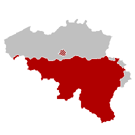
| Deskrizzjoni |
Nederlands: Kaart Franse Gemeenschap |
| Data | |
| Sors | Opra proprja |
| Awtur | LennartBolks |
Liċenzja
| |
This work has been released into the public domain by its author, LennartBolks, at the Ingliż Wikipedija project. This applies worldwide. In case this is not legally possible: |

|
File:Franse GemeenschapLocatie.svg is a vector version of this file. It should be used in place of this PNG file when not inferior.
File:Franse GemeenschapLocatie.png → File:Franse GemeenschapLocatie.svg
For more information, see Help:SVG. |
 |
Kronoloġija tal-fajl
Agħfas fuq il-grupp data/ħin biex tara l-fajl biex tara kif jidher dak il-ħin.
| Data/Ħin | Minjatura | Qisien | Utent | Kumment | |
|---|---|---|---|---|---|
| kurrenti | 21:05, 20 April 2007 | | 270 × 270 (1 KB) | Tene~commonswiki | Optimised (0) |
| 20:21, 13 April 2006 |  | 270 × 270 (3 KB) | Donarreiskoffer | source: nl:Afbeelding:Franse GemeenschapLocatie.png {{PD}} made by nl:user:LennartBolks |
Użu tal-fajl
Il-Paġna segwenti twassal għal din l-istampa:
L-użu globali tal-fajl
Il-wikis segwenti jużaw dan il-fajl:
- Użu fuq af.wikipedia.org
- Użu fuq an.wikipedia.org
- Użu fuq ar.wikipedia.org
- Użu fuq ast.wikipedia.org
- Użu fuq be.wikipedia.org
- Użu fuq ce.wikipedia.org
- Użu fuq cs.wikipedia.org
- Użu fuq en.wikipedia.org
- Użu fuq fa.wikipedia.org
- Użu fuq hr.wikipedia.org
- Użu fuq hu.wikipedia.org
- Użu fuq hy.wikipedia.org
- Użu fuq id.wikipedia.org
- Użu fuq it.wikipedia.org
- Użu fuq jv.wikipedia.org
- Użu fuq ko.wikipedia.org
- Użu fuq lb.wikipedia.org
- Użu fuq nl.wikipedia.org
- Użu fuq no.wikipedia.org
- Użu fuq pam.wikipedia.org
- Użu fuq ro.wikipedia.org
- Użu fuq ru.wikipedia.org
- Użu fuq sh.wikipedia.org
- Użu fuq srn.wikipedia.org
- Użu fuq sr.wikipedia.org
- Użu fuq sv.wikipedia.org
- Użu fuq th.wikipedia.org
- Użu fuq zh.wikipedia.org